

The Peace in Peril
The Site C dam project threatens to flood the Peace River in Northeastern British Columbia.
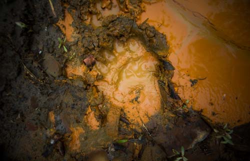
Built to feed British Columbia’s growing resource economy with hydroelectric power, the W.A.C. Bennett Dam was one of the largest dams of its kind when it was completed in the late sixties. The resultant Williston Reservoir flooded over 1,770 square kilometres of forested land, lake and river, engulfing the lower reaches of the great Finlay and Parsnip river systems. To this day, the true scale and extent of the destruction of life in these wilderness drainages can only be guessed at—no baseline information was recorded at the time to accurately measure what lived there before the flood.
By far, the worst fate was reserved for the Sekani First Nations, who grew increasingly alarmed as the floodwaters rose. Their cemetery at Fort Grahame was inundated, while their graveyard at Ingenika Point, which had been moved inland by BC Hydro, wasn’t moved far enough—the recently exhumed remains of their ancestors eroded and dropped into Williston Reservoir.
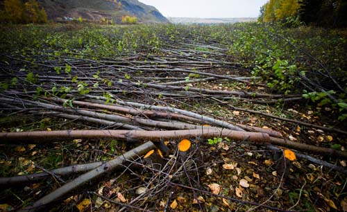
Attempts were made to resettle the Fort Grahame band at two locations. The band never inhabited one, and only lived at the other for a short time before the people tried to move back north into their territory. Shortly after the band’s resettlement, logging companies descended on their new home and razed the forests made newly accessible by the reservoir. The place was now worse than a wasteland. When the dam lowered the lake level by nine metres late that first winter, it exposed vast tracts of silty lake bottom to powerful winds, generating dust clouds so thick that the settlement was invisible to passing planes. (At Tsay Keh Dene, similar dust problems persist to this day.) The local men who dared to launch their boats into the new reservoir often became stuck for days, stranded in treacherous aquatic log jams, at the mercy of the winds that stirred up the surface.
Today, the survivors of the Williston Reservoir flooding include residents of Tsay Keh Dene, situated on the north end of the Williston Reservoir and home to members of the Tsay Keh Dene Nation; and Fort Ware, about seventy kilometres northwest of the Williston Reservoir, home to the Kwadacha First Nation. Nearly fifty years after the First Nations of the area lost everything so the W.A.C. Bennett Dam could be built, both groups are still forced to live off the BC electrical grid. They subsist on dirty, expensive and unreliable diesel generation for electricity. Their former subsistence diet of fish has also been affected by an unnatural spike in methyl mercury caused by the flooding and decay of vast tracts of vegetation.
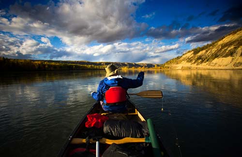
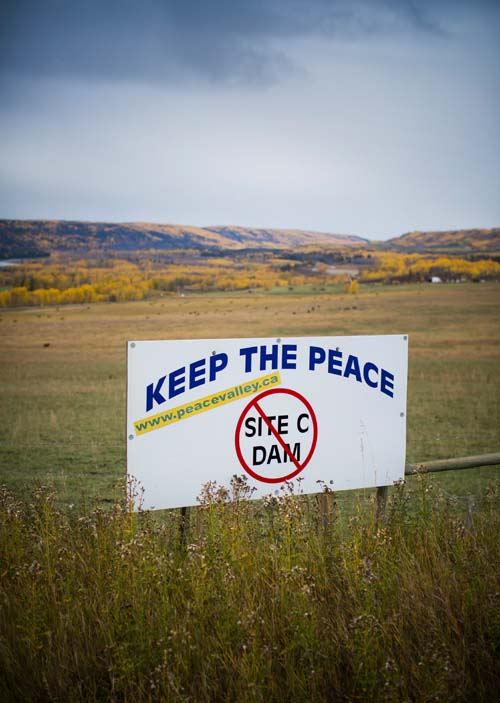
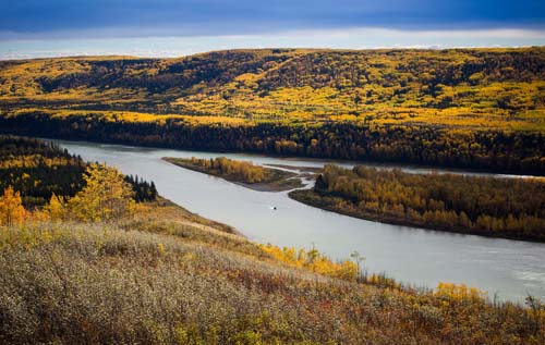
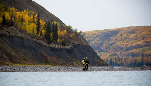
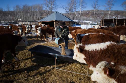
The W.A.C. Bennett Dam was not the last big hydro project on the Peace River. In 1980, the Peace Canyon dam was built just upstream, and in summer 2015, work began on the Site C dam. Site C will cost BC Hydro at least $8.8 billion to build, yet despite its immense cost—it’s the most expensive public works project in provincial history—the dam will remain out of sight and mind for most British Columbians. It was for this reason that Ben Nelms and I decided to paddle the roughly one-hundred-kilometre section of the Peace River that will be destroyed by the creation of the dam. Our goal was to create a written and visual record to document an irreplaceable place soon to disappear.
—Text by Christopher Pollon, adapted from his book with Ben Nelms, The Peace in Peril (Harbour Publishing). Photography by Ben Nelms.


